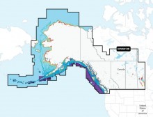
Navionics Platinum+ NPUS013R Canada, West and Alaska microSD
$249.99
$224.99
(Available - Call for Info 877-999-3699)
SALE!
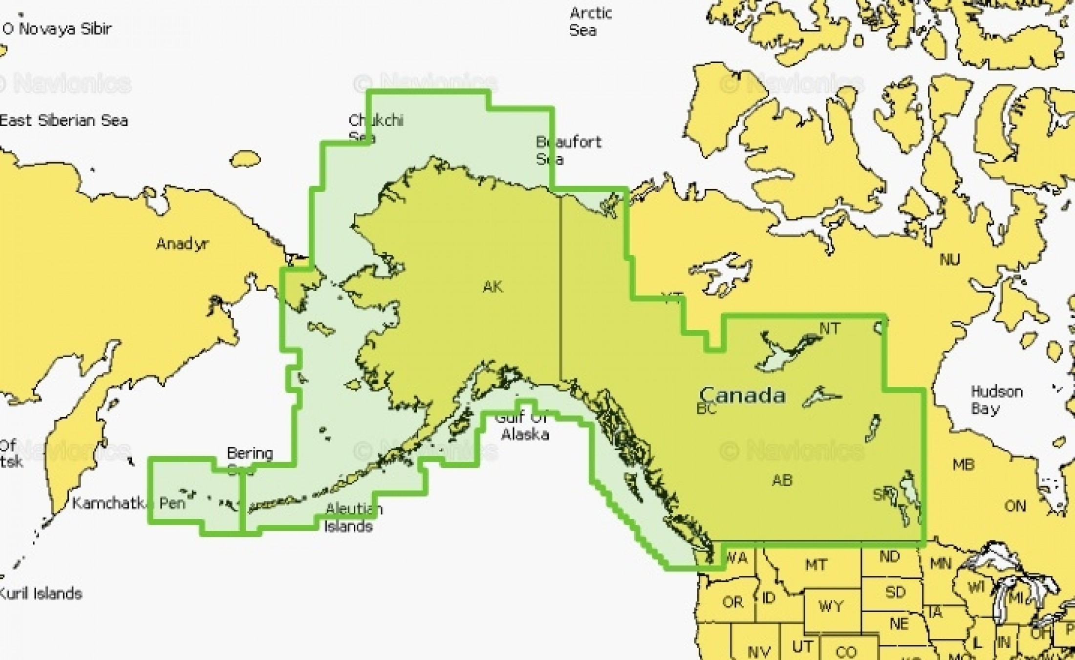
Navionics Platinum+ NPUS013R Canada, West and Alaska microSD
Navionics Platinum+ NPUS004R Canada West and Alaska microSD
Model: 010-C1467-40- Integrated Garmin and Navionics(R) content provides exceptional coverage, clarity and detail in a familiar look and feel
- Easy access to daily chart updates is available via the... Read More...
SKU: #565501775759819 | Model: #010-C1467-40